DEVELOPMENT OF LANDS SURROUNDING PETERS POND
The development of lands surrounding Peters Pond can be viewed in a series of historical topographic maps published by the US Geological Survey (USGS).
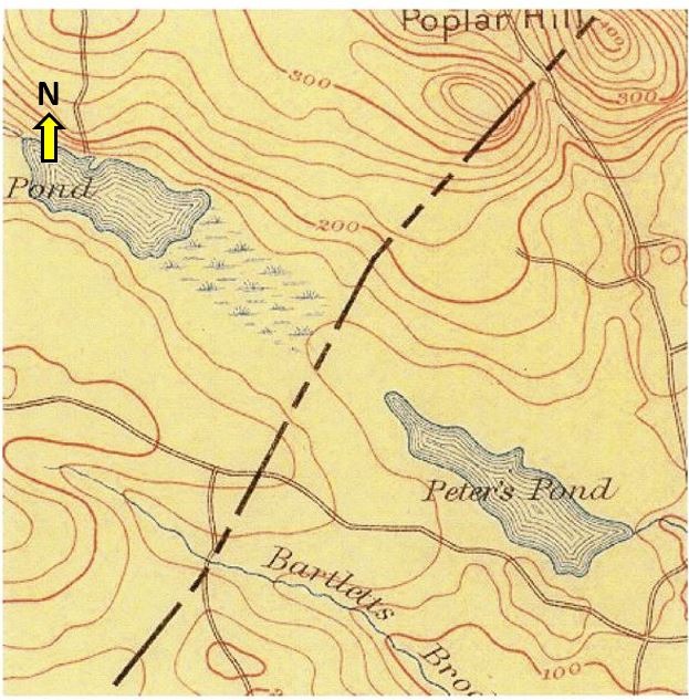
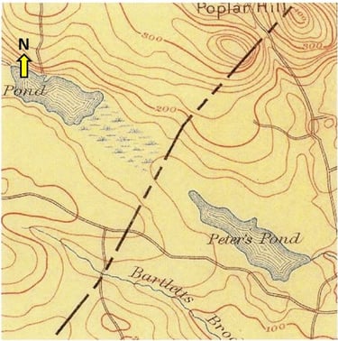
The earliest map from 1893 (below) shows Peters Pond and Little Island Pond to the northwest. Salem Road and Pelham Road are depicted, though these early maps did not show homes.
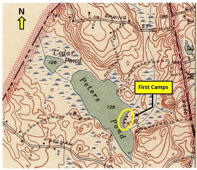
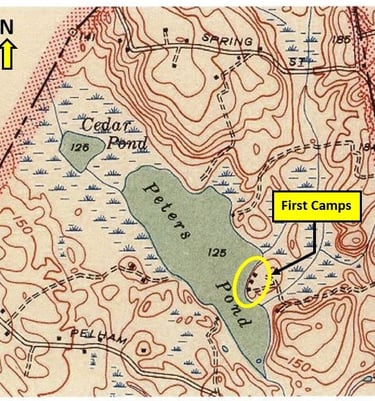
The 1935 map was the first to depict homes (small black boxes). Three homes (almost certainly seasonal camps) are depicted on the easterly perimeter of the pond, on an unpaved road that is likely today's Pine Tree Lane (still unpaved!). Two homes/camps also appear to exist 100 to 200 feet westerly of the middle of the pond, perhaps on what is now Liakos Way.
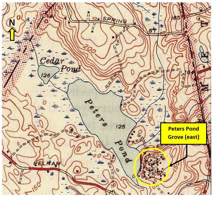
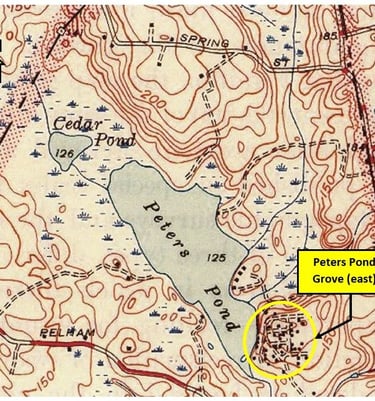
The 1946 maps shows a number of homes/camps on the southeast perimeter of the pond and the surrounding neighborhood (e.g., Peters Pond Drive, Mildred Street, Norman Street, Gilbert Street, Bailey Road). This is the easterly development of Peters Pond Grove, consistent with development maps from the early 1940s.
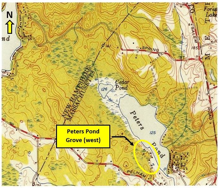
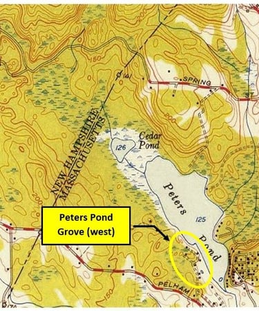
The 1950 map shows homes/camps on the southwesterly shore and surrounding neighborhood - Peters Pond Grove west (e.g., Lewis Street, Elliot Street, Dora Street).
In the 1950s, Lionel Pelletier rented boats to "summer tourists" from Lowell and Lawrence from his home at 72 Peters Pond Drive (proximate to the easterly community beach). Mr. Pelletier also ran an ice cream stand at this location, which eventually became a neighborhood convenience store (closing in the late 1980s). Last but not least, a community bar/dance hall was also present at this address, which reportedly even provided church services at some point to lake and east Dracut residents.
Over the decades, almost all seasonal camps on the pond have become year-round residences. And while there have been some additional dwellings constructed on and near the shoreline, a good part of the perimeter of the pond remains free of homes, inlcuding the north end of the lake and Cedar Pond, which is now conservation land owned by the town of Dracut.
1893 USGS Map
1935 USGS Map
1946 USGS Map
1950 USGS Map